CIC Hut Ben Nevis

Scotland, Lochaber, 680m (AMSL) |SHOW ON MAP|
Ben Nevis, Charles Inglis Clark Memorial Hut (Scottish Mountaineering Club)
https://www.smc.org.uk/
05:24-21:28 (BST)
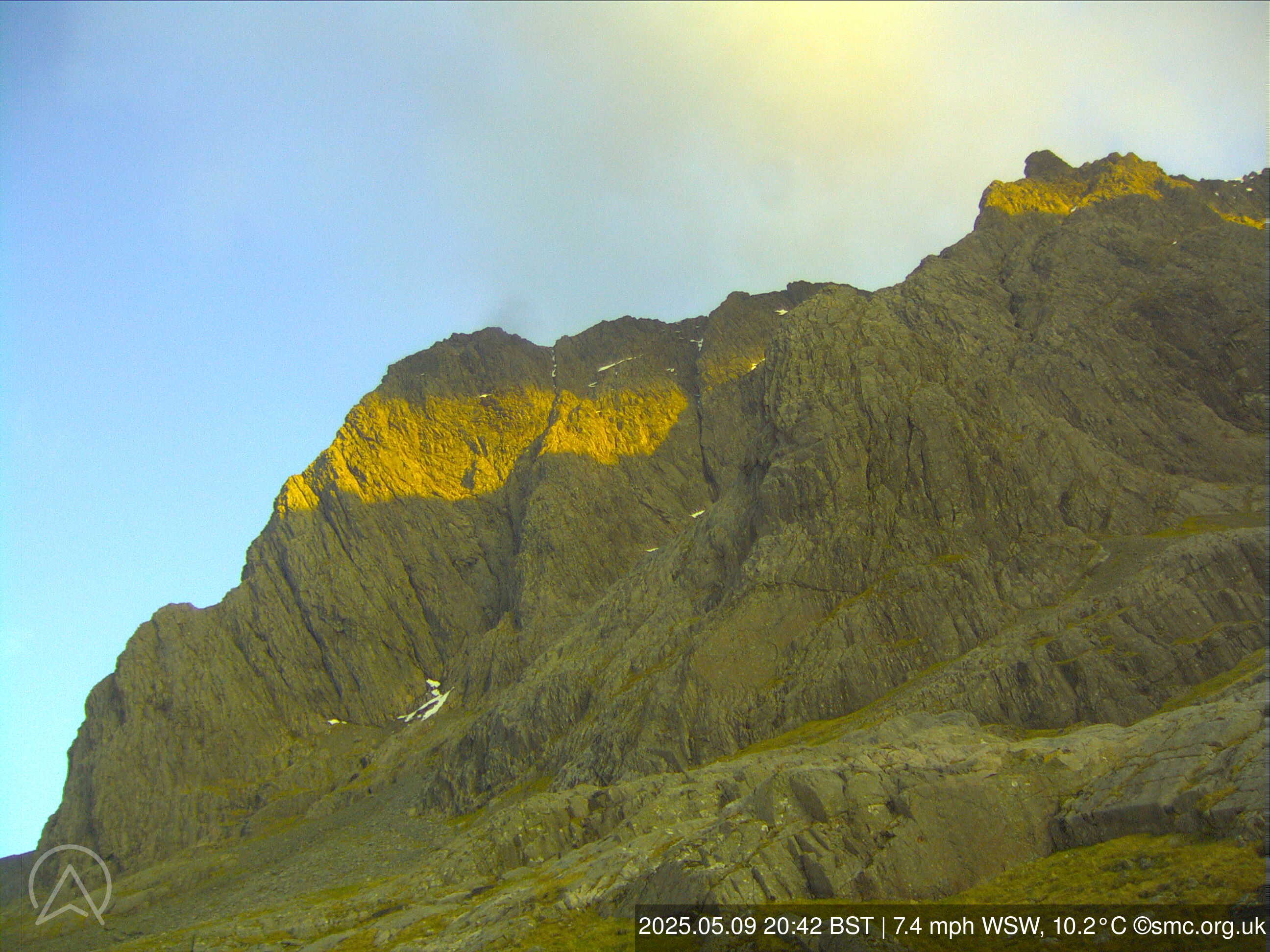
The CIC webcam and weather station is located at the Charles Inglis Clark Memorial Hut (the CIC Hut) on Ben Nevis, owned and operated by the Scottish Mountaineering Club (SMC). The installation of the webcam and weather station was funded by the SMC and the Scottish Mountaineering Trust; operating costs are borne by the SMC.
Ben Nevis, Charles Inglis Clark Memorial Hut (Scottish Mountaineering Club)
https://www.smc.org.uk/
05:24-21:28 (BST)
The CIC webcam and weather station is located at the Charles Inglis Clark Memorial Hut (the CIC Hut) on Ben Nevis, owned and operated by the Scottish Mountaineering Club (SMC). The installation of the webcam and weather station was funded by the SMC and the Scottish Mountaineering Trust; operating costs are borne by the SMC.
Page views in 2026: 62976
Note: Calculated from yearly data where the average wind speed is more than 4km/h.
Loading...
Averages updated: 17:06:21 Mon BST
| Time | 09:15 | 09:30 | 09:45 | 10h | 10:15 | 10:30 | 10:45 | 11h | 11:15 | 11:30 | 11:45 | 12h | 12:15 | 12:30 | 12:45 | 13h | 13:15 | 13:30 | 13:45 | 14h | 14:15 | 14:30 | 14:45 | 15h | 15:15 | 15:30 | 15:45 | 16h | 16:15 | 16:30 | 16:45 | 17h |
| Speed | 14 | 13 | 13 | 11 | 9 | 11 | 14 | 15 | 16 | 18 | 21 | 19 | 16 | 16 | 9 | 11 | 10 | 15 | 15 | 13 | 12 | 11 | 11 | 12 | 10 | 8 | 8 | 8 | 14 | 11 | 13 | 12 |
| Gust (km/h) | 22 | 19 | 19 | 21 | 22 | 27 | 28 | 27 | 26 | 32 | 39 | 33 | 32 | 25 | 20 | 21 | 19 | 27 | 22 | 22 | 24 | 22 | 28 | 20 | 21 | 26 | 23 | 17 | 35 | 31 | 34 | 34 |
| Direction | ||||||||||||||||||||||||||||||||
| Direction Deg. | SW 224° | SW 223° | SW 234° | SSW 212° | SSW 192° | SSE 166° | S 178° | SSW 202° | SSW 201° | SSW 203° | SSW 204° | SSW 203° | SSW 202° | SSW 205° | SW 221° | SSW 198° | SSW 200° | SSW 206° | SW 221° | SSW 212° | SW 234° | SW 215° | SSW 209° | SSW 207° | S 174° | ESE 102° | SE 124° | NE 56° | SE 138° | ESE 119° | S 173° | SSE 159° |
| Humidity (%) | 1.1 | 1.0 | 1.1 | 1.0 | 1.0 | 1.0 | 1.0 | 1.0 | 1.0 | 1.0 | 1.0 | 1.0 | 1.0 | 1.0 | 1.0 | 1.0 | 1.0 | 1.0 | 1.0 | 1.0 | 1.0 | 1.0 | 1.1 | 1.0 | 1.1 | 1.0 | 1.1 | 1.0 | 1.0 | 1.0 | 1.0 | 1.0 |
| Temp. (°C) | 11.0 | 11.1 | 11.1 | 11.0 | 11.1 | 10.9 | 10.8 | 10.8 | 10.7 | 10.7 | 10.9 | 10.9 | 10.8 | 10.8 | 11.0 | 11.1 | 11.2 | 11.1 | 11.2 | 11.2 | 11.4 | 11.4 | 11.4 | 11.4 | 11.5 | 11.5 | 11.6 | 11.8 | 11.9 | 11.8 | 11.8 | 11.8 |
| Time | 02h | 03h | 04h | 05h | 06h | 07h | 08h | 09h | 10h | 11h | 12h | 13h | 14h | 15h | 16h | 17h | 18h | 19h | 20h | 21h | 22h | 23h | Mon | 01h | 02h | 03h | 04h | 05h | 06h | 07h | 08h | 09h |
| Speed | 13 | 13 | 13 | 13 | 13 | 9 | 6 | 9 | 8 | 5 | 4 | 5 | 7 | 8 | 10 | 10 | 7 | 5 | 2 | 2 | 4 | 4 | 2 | 4 | 5 | 17 | 16 | 13 | 15 | 17 | 16 | 19 |
| Gust (km/h) | 34 | 30 | 34 | 27 | 30 | 26 | 16 | 22 | 18 | 16 | 11 | 12 | 13 | 16 | 19 | 19 | 14 | 13 | 8 | 6 | 6 | 8 | 5 | 7 | 16 | 24 | 23 | 20 | 23 | 26 | 26 | 29 |
| Direction | ||||||||||||||||||||||||||||||||
| Direction Deg. | NNW 344° | NNW 344° | NNW 347° | NNW 344° | NNW 345° | NNW 336° | NNW 328° | NNW 345° | N 352° | N 5° | NNE 18° | NNE 14° | N 4° | N 9° | N 4° | N 5° | N 7° | N 8° | NNE 16° | ESE 118° | SSE 149° | SSE 157° | S 169° | S 184° | SSW 195° | SSW 209° | SSW 208° | SW 214° | SSW 207° | SSW 204° | SSW 208° | SSW 210° |
| Humidity (%) | 0.9 | 0.9 | 0.9 | 0.9 | 0.9 | 0.9 | 1.0 | 0.9 | 75.2 | 100.0 | 100.0 | 100.0 | 100.0 | 100.0 | 100.0 | 100.0 | 100.0 | 100.0 | 100.0 | 100.0 | 25.8 | 50.5 | 38.1 | 50.5 | 100.0 | 100.0 | 100.0 | 100.0 | 100.0 | 100.0 | 100.0 | 87.6 |
| Temp. (°C) | 7.3 | 7.4 | 7.3 | 7.3 | 7.3 | 7.7 | 8.1 | 8.3 | 9.3 | 11.0 | 12.2 | 13.0 | 13.2 | 13.0 | 13.0 | 12.8 | 12.7 | 12.0 | 11.3 | 10.5 | 9.6 | 9.4 | 9.7 | 9.6 | 10.6 | 11.0 | 10.9 | 10.9 | 11.2 | 11.3 | 11.2 | 11.0 |
Graphs
ZOOM
3 h
6 h
12h
1 d
5 d(max)
Synchronized zoom
updated: 17:06:22 Mon BST
- Wind speed (km/h)
- Wind direction (°deg)
- Temperature & Dew Point (°C)
- Humidity (%)
Scroll down or click here to load graphs.
Scroll down or click here to load graphs.
Scroll down or click here to load graphs.
Scroll down or click here to load graphs.