Aloña (Oñati) s310

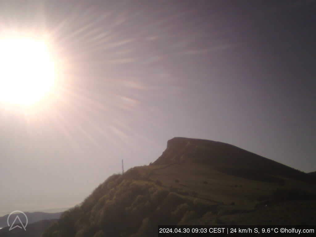
Oñati (Basque Country), 920m (AMSL) |SHOW ON MAP|
Aloñamendi-Belar
www.amillenahegan.com
07:00-21:31 (CEST)
Las cimas de Aloña forman parte del macizo de Aitzkorri.
En el vuelo a Norte se puede hacer un cross hasta Aitzkorri (hacia el Este) y hasta Kurtzeberri (hacia el Oeste). Precaución en ambas transiciones por la ausencia de aterrizajes.
El vuelo a Sur es recomendado en días sin una componente méteo definida, ya que la ladera crea su propia brisa fácilmente.
Aterrizaje: hay una campa de aterrizaje alquilada por el Club Amillena (panel informativo junto al aterrizaje); precaución con las líneas de cables de alta tensión.
RESTRICCIONES: hay un quebrantahuesos en la ladera. No volar desde el despegue hasta la cruz con menos de 1.250 metro sobre el mar. Antes de volar, avisar por Whatsapp a los guardas forestales de a qué hora se va a volar y cuántos parapente (telf guardas forestales: 649-87.09.55). Nos vigilan constantemente y hay amenaza de multas importantes y de cierre de la zona de vuelo. Se pide respetar estar normas.
Page views in 2026: 27961
Note: Calculated from yearly data where the average wind speed is more than 4km/h.
Loading...
Averages updated: 15:55:39 Sat CEST
| Time | 08h | 08:15 | 08:30 | 08:45 | 09h | 09:15 | 09:30 | 09:45 | 10h | 10:15 | 10:30 | 10:45 | 11h | 11:15 | 11:30 | 11:45 | 12h | 12:15 | 12:30 | 12:45 | 13h | 13:15 | 13:30 | 13:45 | 14h | 14:15 | 14:30 | 14:45 | 15h | 15:15 | 15:30 | 15:45 |
| Speed | 16 | 19 | 19 | 19 | 16 | 16 | 16 | 19 | 19 | 19 | 19 | 21 | 20 | 19 | 18 | 20 | 19 | 19 | 20 | 19 | 18 | 19 | 22 | 21 | 21 | 21 | 19 | 23 | 25 | 22 | 20 | 21 |
| Gust (km/h) | 23 | 26 | 26 | 27 | 26 | 23 | 23 | 27 | 27 | 31 | 27 | 26 | 28 | 28 | 25 | 27 | 26 | 26 | 27 | 26 | 27 | 28 | 32 | 29 | 27 | 29 | 34 | 31 | 33 | 29 | 32 | 29 |
| Direction | ||||||||||||||||||||||||||||||||
| Direction Deg. | NE 52° | NE 42° | NE 46° | NE 46° | NE 42° | NE 39° | NE 35° | NE 43° | NE 45° | NE 44° | NE 40° | NNE 31° | NE 34° | NNE 33° | NNE 33° | NNE 19° | NE 34° | NNE 29° | NE 37° | NE 35° | NE 35° | NE 38° | NNE 31° | NNE 26° | NNE 29° | NE 36° | NNE 28° | NNE 14° | N 11° | NNE 17° | NNE 24° | NNE 21° |
| Humidity (%) | 99.6 | 99.6 | 99.6 | 99.6 | 99.6 | 99.7 | 99.7 | 99.7 | 99.7 | 95.4 | 92.3 | 91.1 | 90.7 | 90.7 | 90.1 | 90.1 | 90.2 | 89.1 | 88.8 | 87.9 | 86.7 | 86.4 | 86.1 | 84.9 | 84.9 | 83.7 | 83.4 | 85.4 | 85.2 | 85.7 | 84.2 | 84.5 |
| Temp. (°C) | 14.3 | 14.2 | 14.2 | 14.2 | 14.3 | 14.6 | 14.8 | 14.2 | 14.2 | 15.0 | 15.2 | 15.3 | 15.5 | 15.6 | 15.7 | 15.7 | 15.9 | 16.3 | 16.5 | 16.8 | 17.5 | 17.4 | 17.6 | 18.0 | 18.1 | 18.6 | 19.2 | 18.5 | 18.7 | 18.5 | 19.1 | 19.0 |
| Time | Fri | 01h | 02h | 03h | 04h | 05h | 06h | 07h | 08h | 09h | 10h | 11h | 12h | 13h | 14h | 15h | 16h | 17h | 18h | 19h | 20h | 21h | 22h | 23h | Sat | 01h | 02h | 03h | 04h | 05h | 06h | 07h |
| Speed | 16 | 16 | 16 | 17 | 13 | 15 | 14 | 16 | 14 | 12 | 16 | 16 | 14 | 10 | 10 | 16 | 21 | 25 | 28 | 25 | 27 | 21 | 21 | 17 | 13 | 14 | 14 | 15 | 15 | 18 | 20 | 18 |
| Gust (km/h) | 25 | 23 | 25 | 23 | 21 | 21 | 20 | 23 | 21 | 23 | 23 | 23 | 22 | 19 | 20 | 28 | 33 | 37 | 41 | 37 | 37 | 33 | 31 | 25 | 21 | 20 | 20 | 23 | 21 | 27 | 27 | 27 |
| Direction | ||||||||||||||||||||||||||||||||
| Direction Deg. | NE 35° | N 11° | N 3° | N 3° | N 5° | N 8° | NNE 18° | NNE 15° | N 1° | N 356° | N 354° | N 7° | NNE 17° | NNE 27° | NNE 12° | NNE 22° | N 9° | N 4° | N 7° | N 9° | NNE 19° | NNE 28° | NNE 17° | NNE 17° | NE 39° | N 4° | NNE 17° | NNE 33° | NE 38° | NE 41° | NE 47° | NE 51° |
| Humidity (%) | 99.1 | 99.2 | 99.2 | 99.3 | 99.4 | 99.4 | 99.5 | 99.5 | 99.5 | 99.6 | 99.6 | 99.6 | 99.6 | 99.7 | 99.4 | 91.6 | 86.8 | 87.2 | 90.1 | 90.1 | 90.2 | 91.9 | 94.5 | 97.4 | 96.0 | 98.7 | 99.2 | 99.3 | 99.4 | 99.5 | 99.5 | 99.6 |
| Temp. (°C) | 15.5 | 15.5 | 15.5 | 15.1 | 14.9 | 15.0 | 15.0 | 15.0 | 14.5 | 14.6 | 14.3 | 14.2 | 14.5 | 14.9 | 15.5 | 17.2 | 18.0 | 18.2 | 17.3 | 17.2 | 16.9 | 16.4 | 15.6 | 14.9 | 14.9 | 14.5 | 14.6 | 14.6 | 14.5 | 14.6 | 14.5 | 14.3 |
Graphs
ZOOM
3 h
6 h
12h
1 d
5 d(max)
Synchronized zoom
updated: 15:55:39 Sat CEST
- Wind speed (km/h)
- Wind direction (°deg)
- Temperature & Dew Point (°C)
- Humidity (%)
Scroll down or click here to load graphs.
Scroll down or click here to load graphs.
Scroll down or click here to load graphs.
Scroll down or click here to load graphs.
- Light
Scroll down or click here to load graphs.